

Maps
Interactive Map of California County Formation History
David Rumsey Map Collection Database housed in the David Rumsey Map Center at the Stanford University Library.
- Upper California 1838-1842
- J.C. Fremont Exploring Expedition Map 1845
- California in 1851
- California in 1873
- 1874 Map of San Luis Obispo County includes Land Owners
- San Luis Obispo County in 1895
- San Luis Obispo in 1895
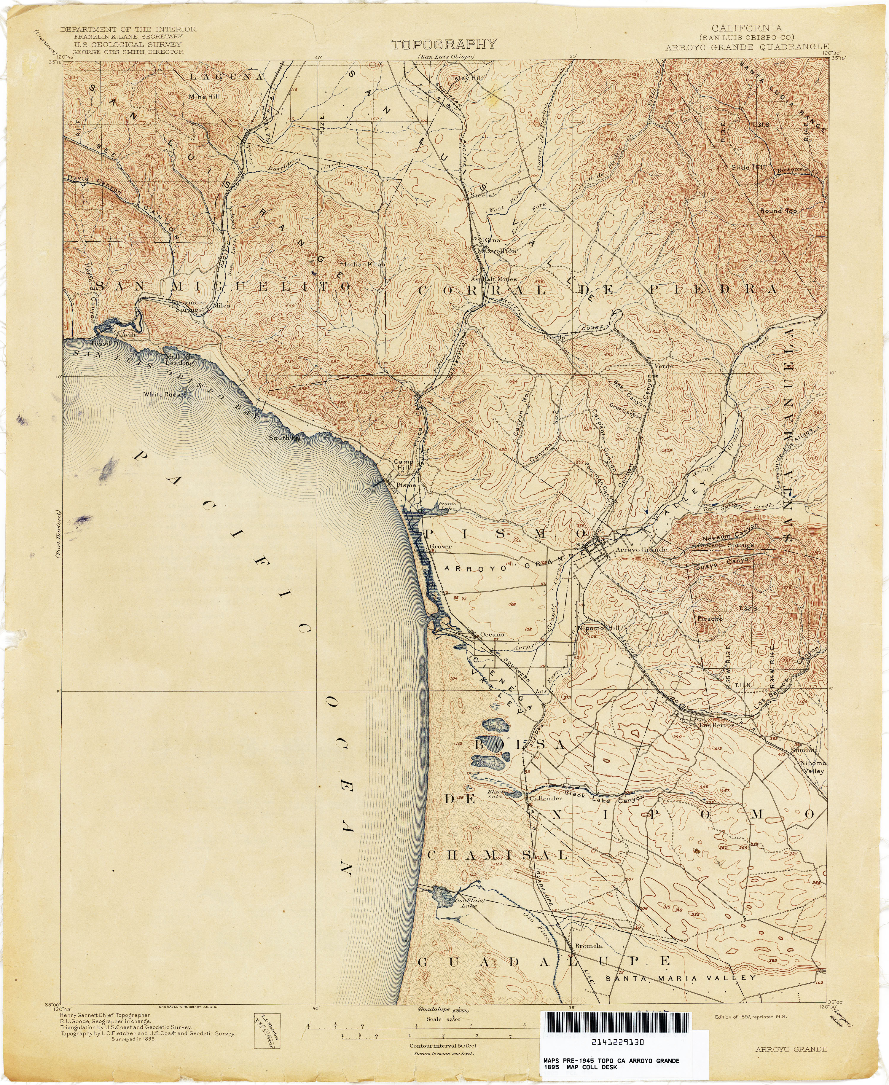
- Arroyo Grande in 1895
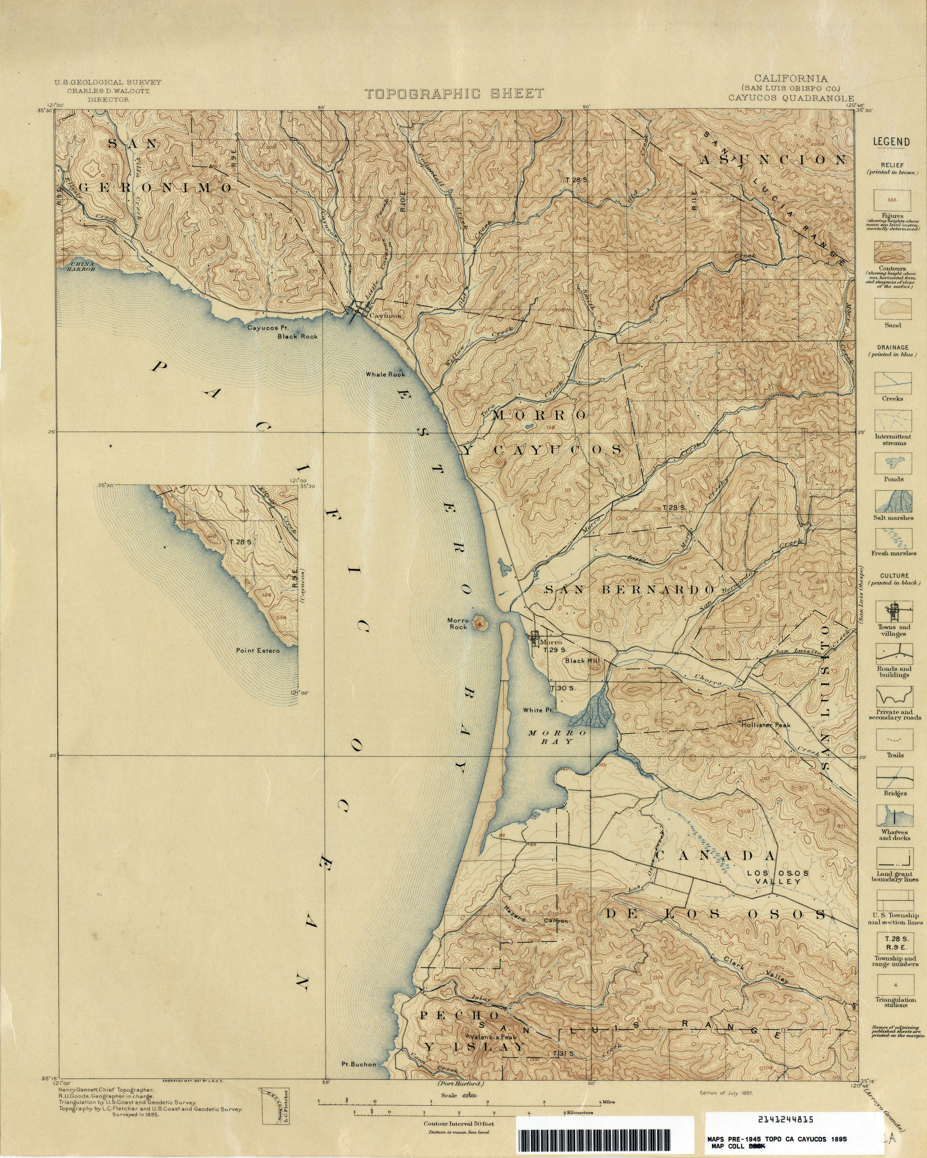
- Cayucos in 1895
- San Luis Obispo in 1900
- Nipomo in 1919
San Luis Obispo County Now
More Sources for Maps
Search Old Maps Online which indexes over 400,000 maps worldwide.