Colusa County Maps
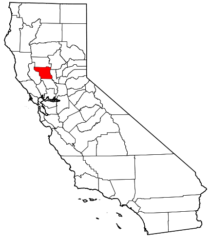
Map of the State of California with Colusa
County highlighted in red.
Image Source: Wikipedia
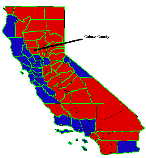
Map of the State of California showing
political affiliation by county.
Red = Largely Republican
Blue = Largely Democrat
Image Source: Computer Cartography by Daniel Phillips at
U-Web student web page hosting service.
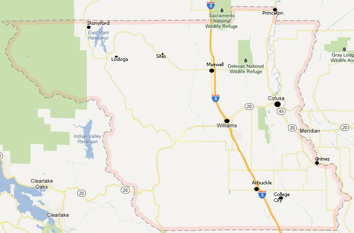
Map of Colusa County showing current
cities, towns and settlements.
Image Source: Google Maps
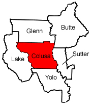
Map showing Colusa County and its neighboring counties.